Thinking Digital Participation further
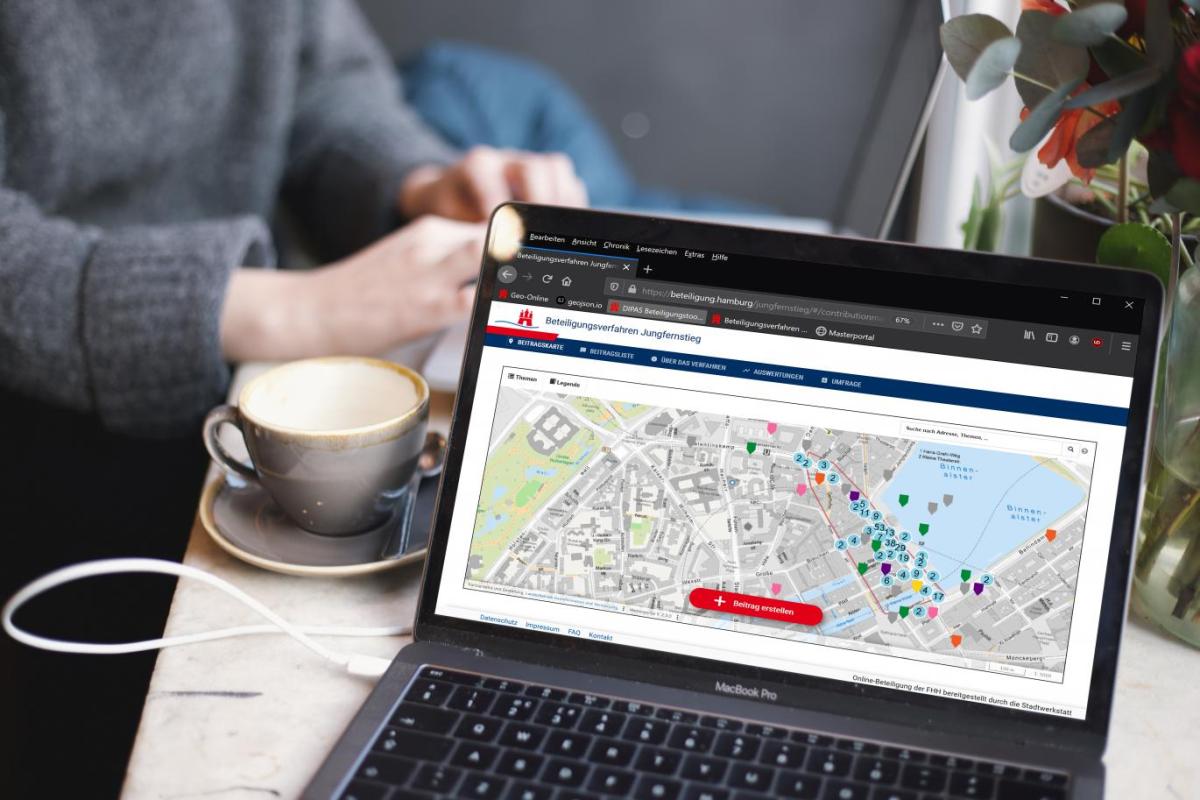
With DIPAS, citizens can provide feedback on planning projects anywhere and at any time.
With DIPAS, citizen participation is
- transparent and efficient: makes participation transparent and easy to implement.
- online and on-site: can be used anywhere and anytime via your own devices and via touch tables at participation events.
- barrier-free and anonymous: works without an app or registration.
- georeferenced and informed: links contributions with geodata such as maps, aerial photos, and 3D models.
DIPAS as a participation tool is
- compliant with data protection and standards: complies with the GDPR and the reference architecture of the IT-Planning Council.
- flexible: can be individually adapted for each participation process.
- proven: in more than 150 processes.
- open source: freely reusable and easy to further develop.
- consistently digital: no media discontinuity from participation to evaluation.

A tool with many functions for the entire city
DIPAS is used wherever the city wants to engage in dialogue with its citizens, for example in urban planning, the expansion of cycle paths or the development of climate protection concepts, from the entire city to individual plots of land. Through the integration of interactive maps, aerial photographs, 3D models and geodata, citizens' feedback is precisely located.
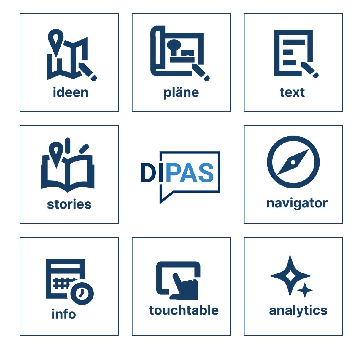
With DIPAS, you can:
- Collect ideas
- Discuss plans
- Comment on texts
- Tell stories with maps
- Keep track of all participation processes
- Set up project pages
- Participate digitally on site
- Evaluate with AI support
News
For the third consecutive year, DIPAS has been collecting reports on dry waterways and low water levels in Hamburg.
As part of Data Week Leipzig, the DIPAS Strategic Commission met last week in Leipzig to discuss the latest developments.
Open Source Software
As an open source solution, DIPAS was developed by the administration for the administration and is also available for other municipalities and institutions to use. In addition, the service is available free of charge via the German Administration Cloud.
DIPAS was developed by the Department of Urban Development and Housing (BSW) together with the State Office for Geoinformation and Surveying (LGV) and the CityScienceLab at HafenCity University Hamburg. The software is open source and was first released under a GPL licence in 2021 and has been continuously developed since then.