DIPAS stories: Telling stories with maps
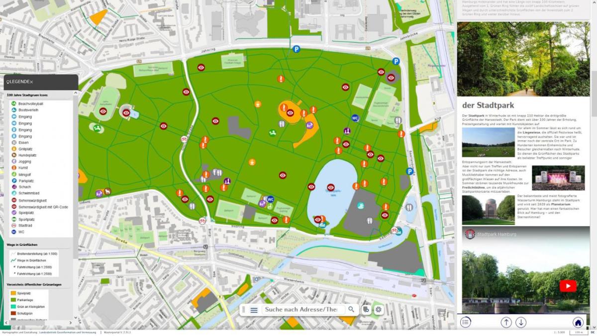
DIPAS stories is the latest addition to the DIPAS digital participation system and makes it possible for the first time to communicate urban planning framework conditions and planning projects with the help of spatial, geodata-based stories. Geodata-based specialist maps such as noise maps, digital development plans or 3D city models are contextualised with texts, images and videos. Storytelling as a method of knowledge transfer has been practised successfully for many years, for example in the field of digital media. Now this method can also support the dialogue between planners and the public through the interplay of interactive geodata and visually appealing media. Click here to have a look at a demo video (currently only available in German)!
In the first step, the tool was initially optimised for the digital data table (DIPAS Touchtable) and for use at public events. The aim is that the DIPAS Touchtable can be operated by non-experts independently and without additional technical support, e.g. at participation events for citizens or in neighbourhood offices.
DIPAS stories is a component of the DIPAS system and is already available as a beta version in the DIPAS Masterportal Addon on Open CoDE as open source software.